Select the product that suits you
CampingCard ACSI Digital
From €20.95 Order now |
CampingCard ACSI Digital & Motorhome pitches
From €25.95 Order now |
CampingCard ACSI
From €20.95 Order now |
CampingCard ACSI & Motorhome Pitches
From €27.95 Order now |
|
|---|---|---|---|---|
| Discount in the low season | ||||
| 3,000 campsites in Europe | ||||
| 9,000 motorhome pitches | ||||
| Including campsite guide | ||||
| With app | + €4.99 | + €10.98 | ||
| Valid until | one year after the purchase date | one year after the purchase date | end of the calendar year | end of the calendar year |
| Individual edition | - | - | €24.95 | €31.95 |
|
|
|
|---|---|
| Discount in the low season | |
| 3,000 campsites in Europe | |
| 9,000 motorhome pitches | |
| Including campsite guide | |
| With app | |
| Valid until | one year after the purchase date |
|
|
|
|---|---|
| Discount in the low season | |
| 3,000 campsites in Europe | |
| 9,000 motorhome pitches | |
| Including campsite guide | |
| With app | |
| Valid until | one year after the purchase date |
|
|
|
|---|---|
| Discount in the low season | |
| 3,000 campsites in Europe | |
| 9,000 motorhome pitches | |
| Including campsite guide | |
| With app | + €4.99 |
| Valid until | end of the calendar year |
| Individual edition | €24.95 |
|
|
|
|---|---|
| Discount in the low season | |
| 3,000 campsites in Europe | |
| 9,000 motorhome pitches | |
| Including campsite guide | |
| With app | + €10.98 |
| Valid until | end of the calendar year |
| Individual edition | €31.95 |
The advantages of CampingCard ACSI:

Save up to 60% per night
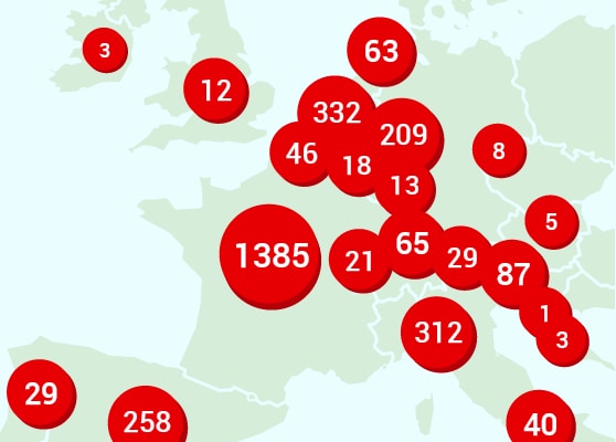
3,000 participating campsites

Earn your money back in four nights
Other campers about CampingCard ACSI

- M. Macgregor

- P. Hageman

- S. Paull
More info
Please contact our Customer Service.